Our Drone Survey Services
-
Drone Roof Surveys & Inspections
We offer drone roof surveys and building inspections for commercial and residential buildings to ensure your commercial property or home is safe and secure. This allows us to highlight any potential problems before they become issues.
Our drones can access difficult-to-reach areas without risk to you, your home, your business, or your employees.
Find Out More -
Construction Progress Monitoring
Our construction progress monitoring services will regularly survey, photograph and video your development from its infancy to completion or at key increments. We offer drone construction progress reports in formats that allow you to share them easily with shareholders or team members, in time lapses, 2D, 3D models, and more.
Find Out More -
Drone Land Mapping
Using the highest quality drones and imaging software, we provide you with comprehensive drone surveys of your industrial or residential land. Our drones can provide detailed land mapping surveys for large or hard-to-reach areas like quarries, landfill sites, construction sites, agricultural land, and many more.
Find Out More -
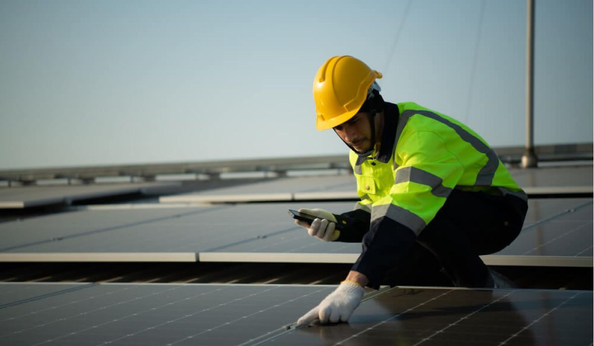
Thermal Drone Surveys
Our trained experts quickly identify potential heat loss from your buildings and assets. We use both thermal and visual sensors, attached to our fleet of DJI drones to capture data and imagery.
Find Out More -
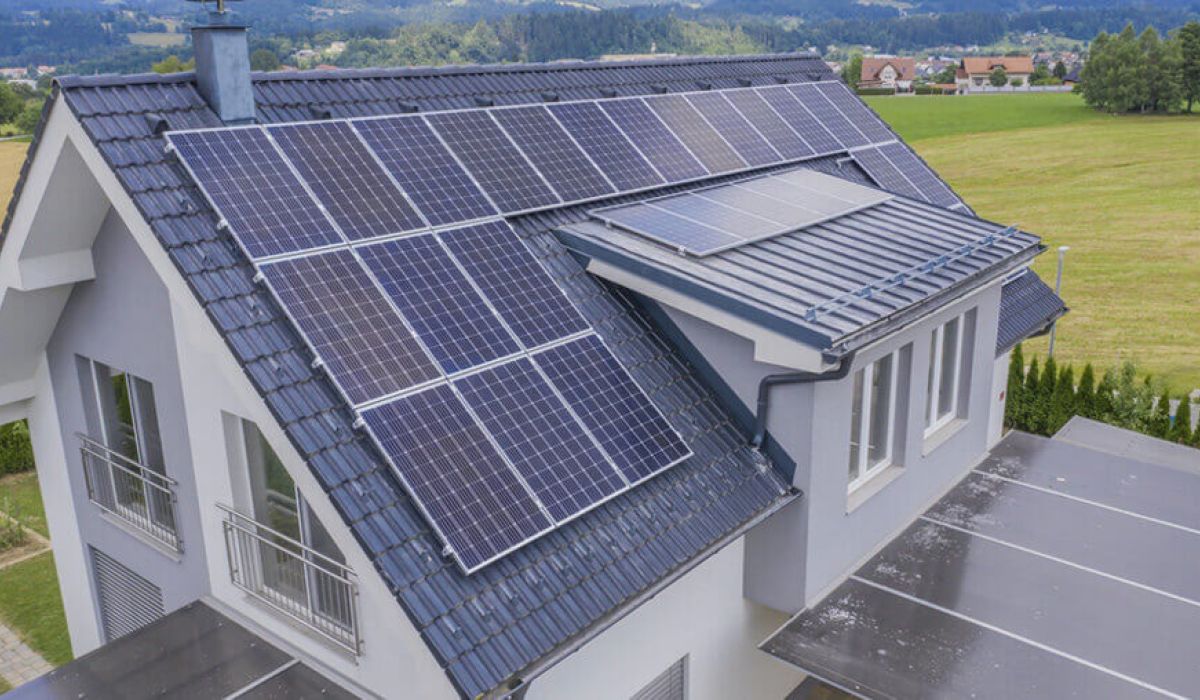
Solar Panel Surveys
Full View’s drone-led solar panel surveys offer a safe and cost-effective way to inspect your solar panels to assess their condition and discover if any maintenance is required.
Find Out More -
Drone Stockpile Surveys
Through the use of DJI drones, we can accurately measure and survey stockpiles of materials such as gravel and dirt, helping you keep track of your stocks and reduce mismanagement.
Find Out More


-
![Drone Roof Surveys & Inspections]()
Drone Roof Surveys & Inspections
We offer drone roof surveys and building inspections for commercial and residential buildings to ensure your commercial property or home is safe and secure. This allows us to highlight any potential problems before they become issues. Our drones can access difficult-to-reach areas without risk to you, your home, your business, or your employees.
-
![Construction Progress Monitoring]()
Construction Progress Monitoring
Our construction progress monitoring services will regularly survey, photograph and video your development from its infancy to completion or at key increments. We offer drone construction progress reports in formats that allow you to share them easily with shareholders or team members, in time lapses, 2D, 3D models, and more.
-
![Drone Land Mapping]()
Drone Land Mapping
Using the highest quality drones and imaging software, we provide you with comprehensive drone surveys of your industrial or residential land. Our drones can provide detailed land mapping surveys for large or hard-to-reach areas like quarries, landfill sites, construction sites, agricultural land, and many more.
-
![Thermal Drone Surveys]()
Thermal Drone Surveys
Using the highest quality drones and imaging software, we provide you with comprehensive drone surveys of your industrial or residential land. Our drones can provide detailed land mapping surveys for large or hard-to-reach areas like quarries, landfill sites, construction sites, agricultural land, and many more.
-
![Solar Panel Surveys]()
Solar Panel Surveys
Full View’s drone-led solar panel surveys offer a safe and cost-effective way to inspect your solar panels to assess their condition and discover if any maintenance is required.
-
![Drone Stockpile Surveys]()
Drone Stockpile Surveys
Through the use of DJI drones, we can accurately measure and survey stockpiles of materials such as gravel and dirt, helping you keep track of your stocks and reduce mismanagement.


What You Can Expect When We Visit
Here’s what Full View’s drone inspection and survey services bring to the table:
-
![Checkmark]()
CAA-Licensed Pilots & Fully Insured Teams: We hold all Civil Aviation Authority (CAA) licences and operate professionally with safety at the core.
-
![Checkmark]()
Fast Callouts & Turnaround: We typically respond to enquiries within 24 hours and aim to deliver reports quickly – most reports are ready within 72 hours.
-
![Checkmark]()
Flexible Deliverables: Outputs include 4K imagery, thermal maps, 2D orthomosaics, 3D models, and photogrammetry – delivered in the format you need.
-
![Checkmark]()
Safer, Cheaper Alternative to Scaffolding: Our drones access hard-to-reach areas without risk, saving time and cost while giving you clear evidence for decision-making.
Who Benefits From Our Drone Surveys
Landlords & property owners
Property managers (flats, apartments, & tower blocks)
Construction companies & developers
Warehouse & industrial facility operators
Airports & airfields
Prisons & secure facilities
Solar panel installation & maintenance firms
Insurance companies
New homeowners & buyers